West Antarctica: 1998-1999 season
There were two main projects during this field season,
both run out of the Siple Dome field camp.
The first project was the 1st re-survey of the three
"coffee-can" sites on Ice Stream D. We were flown to each
site via Twin Otter aircraft, after which we set
up camp for approximately two days in order to: (1) re-survey the
markers at each site using precision GPS; (2) obtain a hand drilled,
shallow firn core (see "1997-1998 season for pictures") and
(3) survey the local topography with kinematic GPS. Shallow cores are
obtained at each site in order to obtain a measurement of the
accumulation rate of the last ~40 years. This is possible because
nuclear weapons testing in the late 1950's left a residue of
radioactive fallout over the ice sheets. This layer can be detected by
sensitive instruments during laboratory processing, meaning it can be
used as a time horizon within each core. This allows us to determine
how much snow has accumulated at a location since the time the fallout
horizon was deposited. The local topography is surveyed so that its
effect on the downward motion of markers within the firn can be
removed.
The second project was a velocity survey of ~30
locations on the ice plain (lightly grounded region) between Ice Stream
B and the Ross Ice Shelf into which it flows. All of these sites were
surveyed a decade or so ago. Other research has indicated that the ice
in this region is slowing down by ~20% per year, and this re-survey
would allow for a comparison of precise velocity measurements with a
large time interval in between the re-survey's. This turned out to be a
rather hectic project, as bad weather on the ice shelf was persistent
for much of the beginning of the field season. More or less, all of the
work was done over several very long days where we flew to the various
sites and to and from Siple Dome on a near non-stop basis. The Twin
Otter flight crews switched out after a day/nights work, but we did
not. We did however, manage to get all of the sites re-surveyed. That
project is still being worked on, but the general results substantiate
the observed slow-down of ice flowing into this region.
Only a few of the photo's here are field work related as
there was generally not much interesting to take pictures of. We did
have a unique opportunity to visit the deep ice coring operation at
Siple Dome, which hit bedrock while we were in camp, and there are some
photos related to that. As with the '99-'00 field season, we were able
to go for a cruise on the coastgaurd icebreaker at the end of the
season, and there are a few photos included from that trip as well.
For more photos related to "coffee-can" field
work, see photos at the '97-'98 and '96-'97 season links.
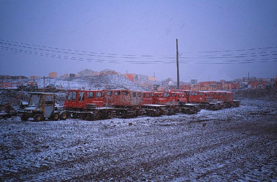
Tracked vehicles in McMurdo with snowstorm beginning.
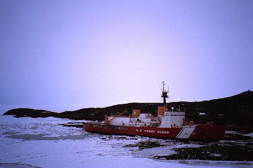
Coast Guard cutter "Polar Sea" at dock in McMurdo. Hut point peninsula is in the
background. The roof of Scott's "Discovery Hut", from where his polar expeditions
were based, can be seen just to the left of the saddle on the left side of the
photo.
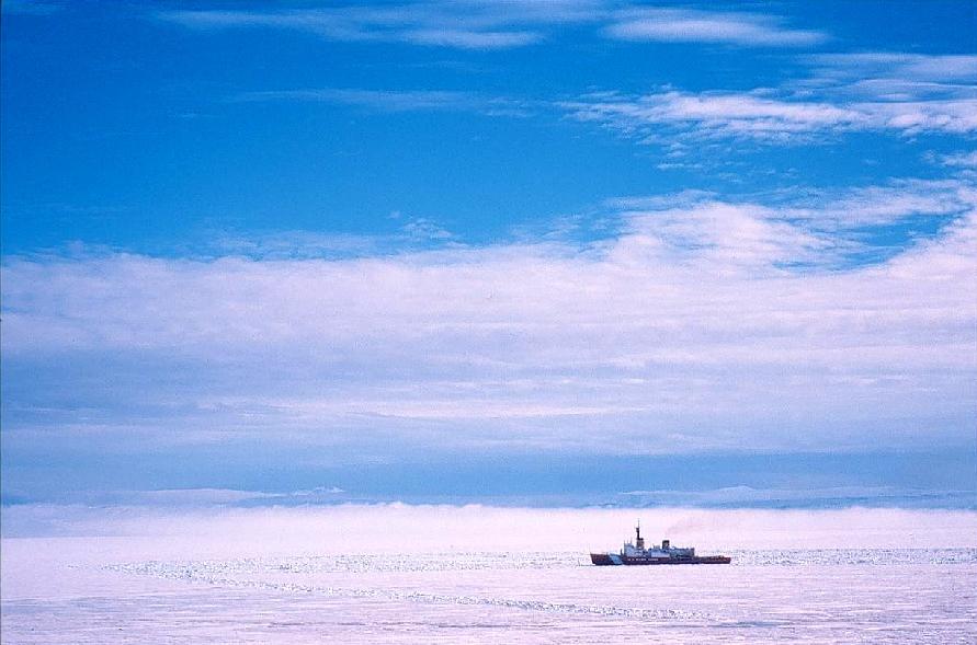
Coast Guard cutter in McMurdo Sound clearing a channel for the cargo ship.
Fog can be seen rolling in from the opposite side of the sound.
Page 2 ...